GIS Integrated in Urlabari Water Supply System
Diyalo Technologies
Oct 23, 2024
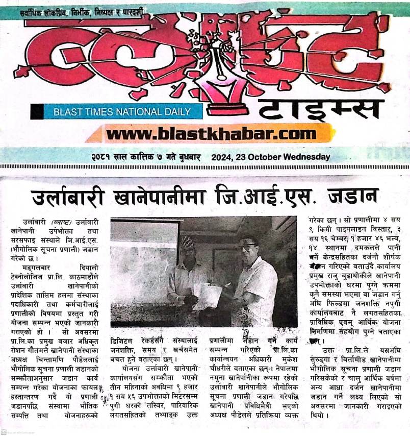
Diyalo Technologies has successfully integrated a Geographic Information System (GIS) into the Urlabari Water Supply and Sanitation Consumer Institution, marking a significant step toward digital transformation and smarter utility management.
The GIS implementation enables the utility to digitally map and manage its water distribution network, including pipelines, valves, customer connections, and other critical infrastructure. The system provides accurate, real-time access to network information, helping improve operational efficiency, planning, maintenance, and service delivery.
The GIS platform is designed to support informed decision-making by providing a comprehensive visual representation of the water supply system. It allows utility staff to quickly identify assets, monitor network performance, and respond more effectively to operational challenges.
During the official handover and training program, representatives from Diyalo Technologies demonstrated the system's features and highlighted its role in enhancing data-driven water utility management. The institution's leadership expressed confidence that the GIS solution will contribute to improved service reliability, better resource utilization, and long-term sustainability.
This initiative reflects Diyalo Technologies' continued commitment to empowering water utilities across Nepal through innovative digital solutions that improve efficiency, transparency, and customer service.
Project Highlights
- Digital mapping of water supply assets and infrastructure
- Enhanced operational visibility and decision-making
- Improved maintenance planning and asset management
- Faster response to network issues and customer complaints
- Foundation for future smart water utility initiatives